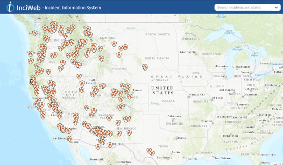
Over the weekend I found a useful website called InciWeb (Incident Information System) for tracking current wildfires around the country and, sadly, it appears the entire West Coast is burning down:

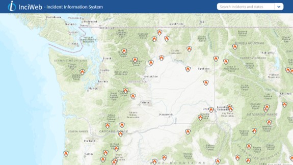
It’s very easy to use. You can easily zoom in seemingly indefinitely which you’ll want to do. Here’s me zooming into my home state of Washington:

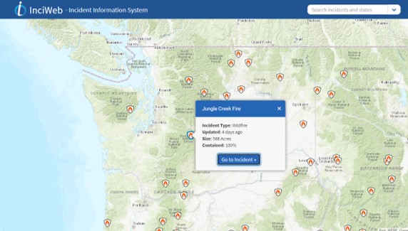
To get more information you can hover over an incident and click on it to find out more:

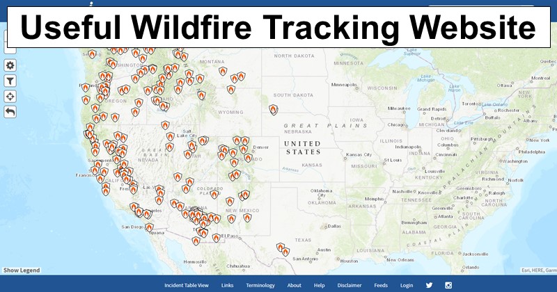
There are some settings on the left which have been cut from the above screenshots where you can make a few changes, such as changing the map type from topographical to aerial or filtering the type of fire (e.g., wildfire vs. prescribed burn), but overall it’s easy to use and quite intuitive.
Make use of it yourself and share it with friends and family who may need to know to stay safe!

Leave a Reply