I was going through some of my preps the other day as well as some things in our vehicles when I came across some relatively old regional fold-up maps, you know, the kind you used to pick up at gas stations and even Walmart. I assume they still sell them but with the advent of GPS everywhere, probably not so much.
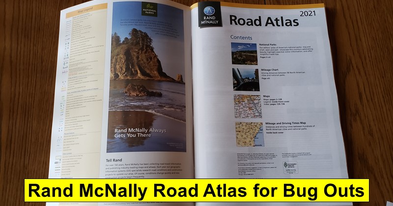
Anyway, while I had local maps of the Seattle area and even a map of the Pacific Northwest, I realized that I didn’t have a quality map of the entire United States which could come in handy in certain situations. So, I decided to pick up a Rand McNally 2021 Road Atlas. I settled on this one because it was perhaps the least expensive option on Amazon and it even included Canada and Mexico, though I later found out that Mexico had one page dedicated to the entire country whereas Canada had several pages. It’s not a big deal that the vast majority of the atlas is, as you would expect, dedicated to the United States.
What surprised me was how big the atlas is. I guess it’s been a long time since I’ve laid hands on one because it’s quite beefy (I included an 8×11 piece of printer paper here for perspective):
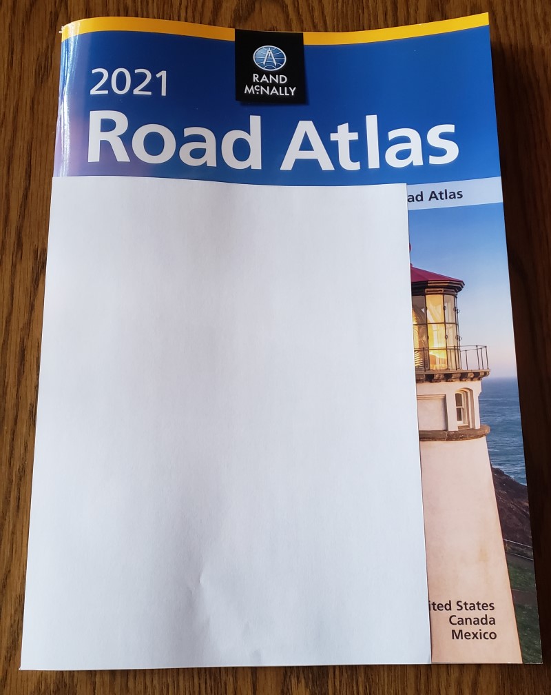
Add in the fact that it’s over 130 pages and weighs roughly one pound, four ounces and it’s not immediately a no-brainer to add to your bug out bag.
I know it’s a little difficult to see in the following photo, but I opened the atlas up to random page–in this case, Kentucky–and it’s what you would expect to see, a detailed map of the state’s major roads and close-ups of major cities:
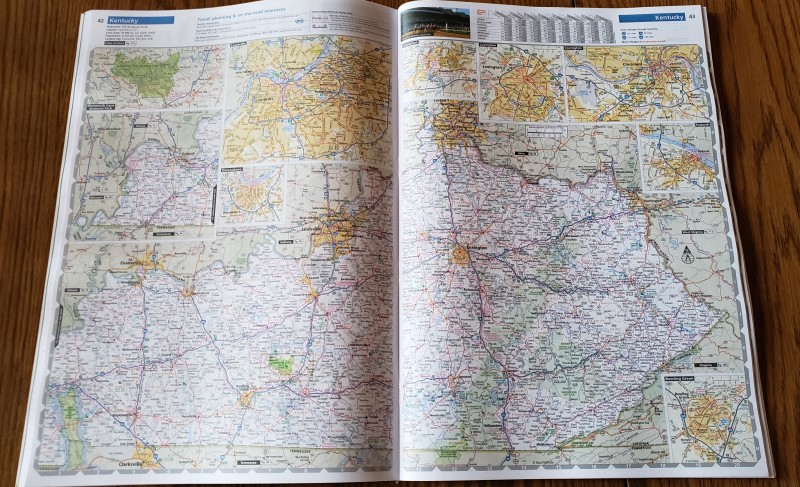
Most states have a few pages dedicated to them, especially if they have major metropolitan centers. Granted, if you find yourself referring to said metropolitan center maps then you’re probably doing something wrong, lol.
In any case, I purchase two of these, one to keep in our primary bug out vehicle and another for my son who has probably never seen an actual map in his life and is more likely to use this atlas to start a fire than navigate anywhere. At least he’s doing something useful with it. 🙂
Leave a Reply